This year the Environment Agency published its National Flood and Coastal Erosion Risk Management Strategy for England.
Page 67 features the only measure within the whole document that is focussed on a specific geographical place:
Measure 1.5.4: By 2025 the Environment Agency will work with farmers, land managers, water companies, internal drainage boards and other partners to develop a long-term plan for managing future flood risk in the Fens.
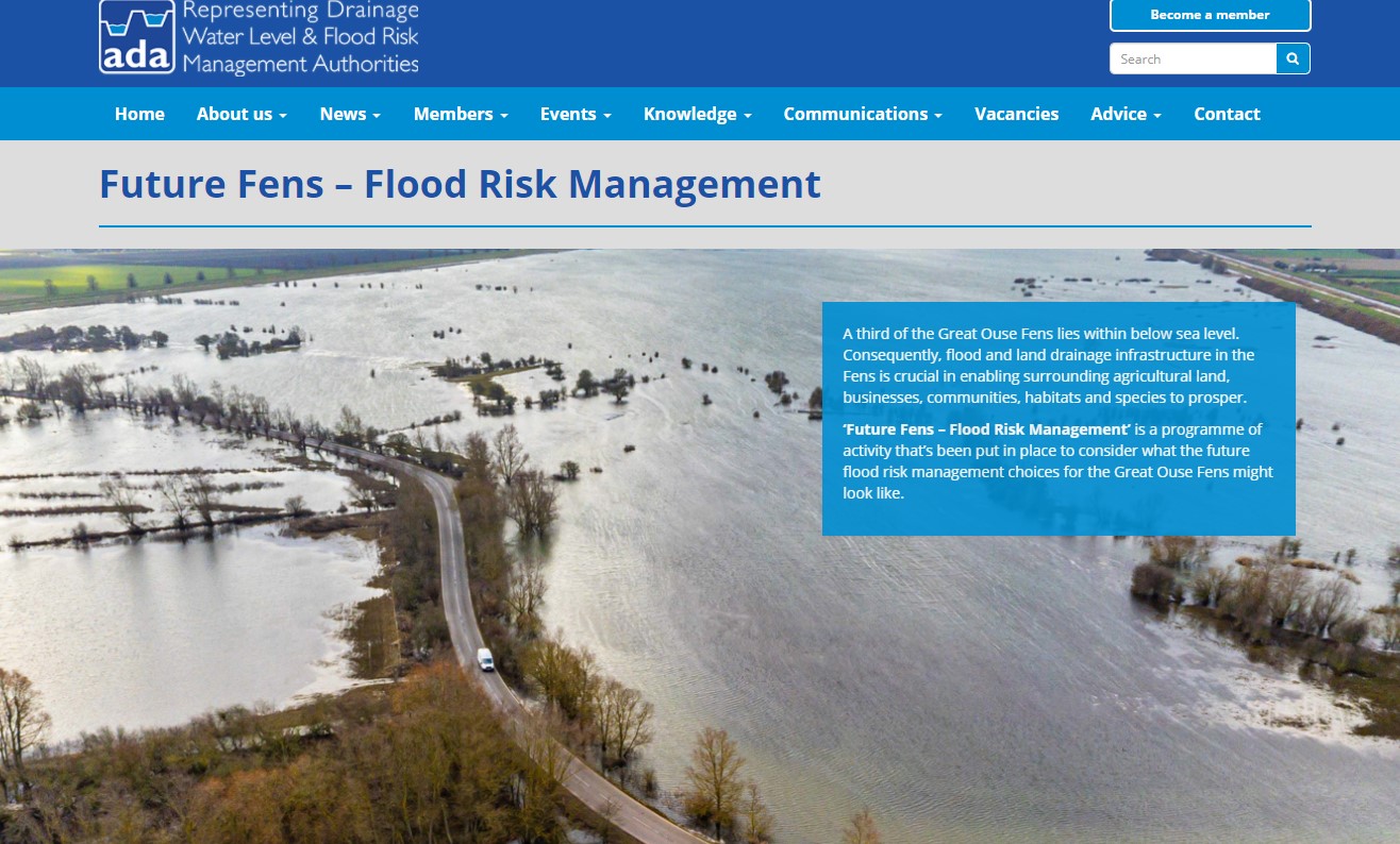
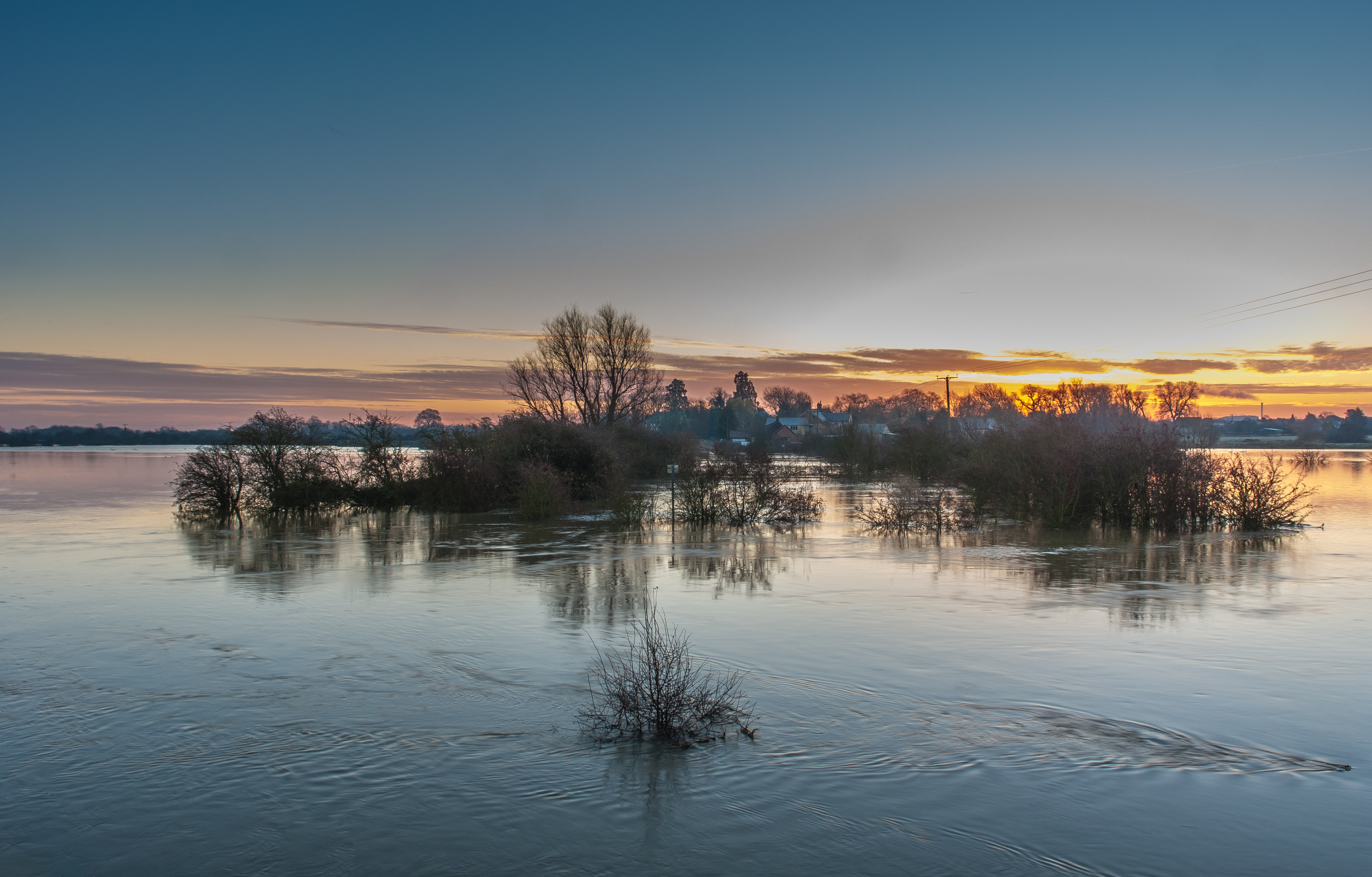
The Environment Agency and its partners are not taking the future flood risk to the Fens lightly; they have established a project – Future Fens: Flood Risk Management – to consider what the future flood risk management choices for the Great Ouse Fens could look like for the next 50 to 100 years.
The baseline report for this will be available in May 21 but here are some facts and statistics which emerged from the recent (Oct 20) Anglian (Great Ouse) Regional Flood and Coastal Committee (RFCC):
There are about 300 EA owned assets delivering flood management the Ouse Fens area and 130,000 households, the benefits of flood defences to these and other assets comes to around £17.1 billion.
To maintain the level of flood defence (i.e. no improvements , not taking into account climate change ) will cost slightly in excess of £1.8 billion to 2100.
32% of the area in the Ouse Fens in under sea level, if the sea levels rise as predicted , 62% will be below sea level by 2100 with no intervention.
Much of the water (59-60%) in the area discharges, by gravity through Denver Sluice out into the washes at Kings Lynn. A rise in sea level as predicted will reduce this to 30% over the next 100 years. This may be even less if the slow movement of water causes even more siltation.
If all the flood defences were “turned off” now, it would take 7 to 12 years for the Fens Basin to fill up with water.
In drawing up this report the consultants and technical group (drawn from project partners) also developed a new methodology for assessing the cost of flooding to agriculture. This is to take into account the often high value of fen crops and other factors unique to the Fens area.
The baseline report and future reports will be found on a bespoke page on the ADA (Association of Drainage Authorities ) website